
 EN
EN
 ar
ar bg
bg hr
hr cs
cs da
da nl
nl fi
fi fr
fr de
de el
el hi
hi it
it ko
ko no
no pl
pl pt
pt ro
ro ru
ru es
es sv
sv tl
tl iw
iw id
id lv
lv lt
lt sr
sr sk
sk sl
sl uk
uk vi
vi et
et hu
hu th
th tr
tr fa
fa ms
ms hy
hy ka
ka ur
ur bn
bn mn
mn ta
ta kk
kk uz
uz ku
ku
Hydrostatic Leveling System
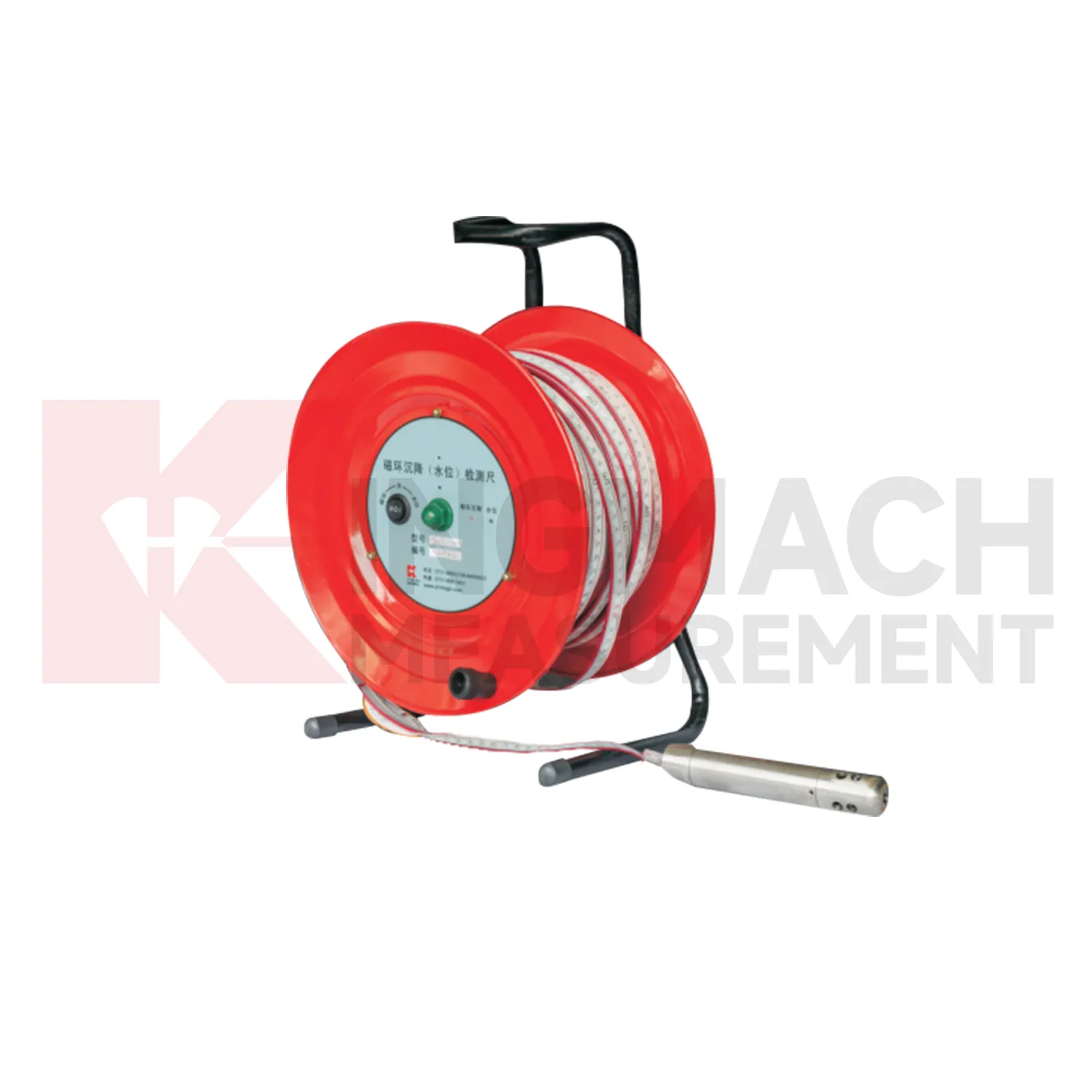
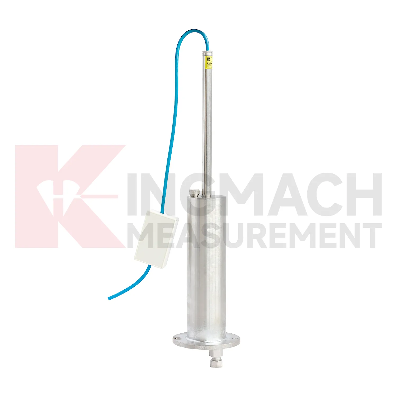
The JMCJ-1003/1005 magnetic ring settlement water level gauge gives Kingmach Hydrostatic Leveling System a manual borehole method for layered ground. It measures underground settlement by electromagnetic induction between the probe and magnetic rings, and it measures water level by conductivity when the probe contacts groundwater. The instrument uses a probe, reel, tape, battery, audible or visual indication, and magnetic rings placed at known depths. Published depth options include 30 m, 50 m, and 100 m, with plus or minus 1 mm accuracy, 9V battery power, maximum current of 50 mA, a probe about 17 cm long and 3 cm in diameter, and -20 degrees Celsius to 60 degrees Celsius operating environment. This product is useful where the engineer needs to know which soil layer compressed, not just how much the surface moved. A careful log should keep borehole number, ring depth, water depth, reference mark, operator, weather, and construction activity together for each visit.
Application of Hydrostatic Leveling System
Layered soil, slope, and embankment projects often need Hydrostatic Leveling System that can separate underground compression from groundwater variation. Kingmach JMCJ-1003/1005 magnetic ring settlement water level gauge serves that role through a probe, reel, measuring tape, magnetic rings, and water-level detection. Magnetic rings are placed at selected depths, and the probe gives audible and visual indication when it reaches a ring. Water level is detected by conductivity when the probe contacts water. Published options include 30 m, 50 m, and 100 m depths, plus or minus 1 mm accuracy, a 9V battery, and a probe about 17 cm long with 3 cm diameter. This manual instrument is useful when the engineering question is not just total surface settlement, but which soil layer is compressing. Field crews can compare ring depth, groundwater depth, rainfall, fill placement, cracks, retaining wall movement, and excavation activity. The resulting profile helps identify whether deformation is shallow, deep, water-related, or linked to a particular construction stage.
The future of Hydrostatic Leveling System
Future Hydrostatic Leveling System will use smarter edge checking before data reaches the main platform. A sudden settlement jump may come from real ground movement, but it may also come from a disturbed tube, loose cable, air pocket, dewatering activity, cabinet work, or reference point change. Acquisition units can compare settlement rate, water level, rainfall, temperature, and nearby channels before marking a value as reliable. Kingmach products with RS485 output and automated acquisition compatibility already provide a basis for this kind of review. For remote railway subgrades, dams, tunnels, and slopes, early filtering can reduce unnecessary field visits while still flagging readings that need inspection. The aim is not to hide abnormal movement, but to separate data-chain faults from structural behavior faster. The practical goal is to keep settlement data understandable after the original installation crew has left, so owners can compare old and new readings without reconstructing the field history from memory. The same record should remain readable for designers, contractors, owners, and maintenance teams, because settlement monitoring often continues long after the first construction report is finished.
Care & Maintenance of Hydrostatic Leveling System
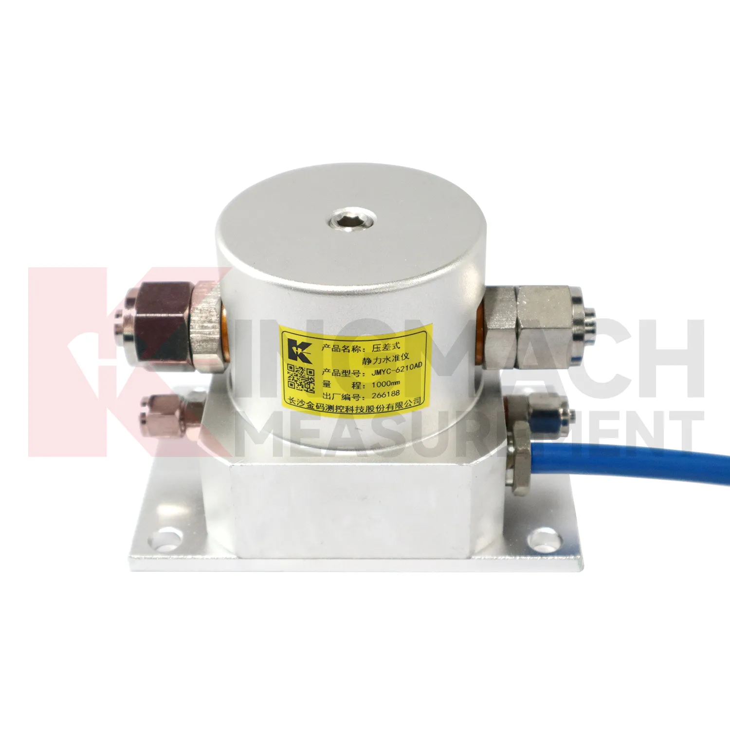
Magnetic ring Hydrostatic Leveling System need consistent field habits. For JMCJ-1003/1005, record borehole number, ring depth, water level depth, tape mark, operator, date, battery status, and previous reading each time. The magnetic ring function relies on electromagnetic induction and audible or visual indication, while water level detection responds when the probe contacts water. Different operators should use the same borehole orifice reference mark and the same tape handling method. After field work, clean the probe, dry the reel, inspect the tape cable, check the battery, and note any weak alarm or rough movement in the borehole. Layered settlement data depends on repeated depth reading discipline. A small careless change in reference mark can look like soil compression, so field notes should be plain, dated, and easy to audit.
Kingmach Hydrostatic Leveling System
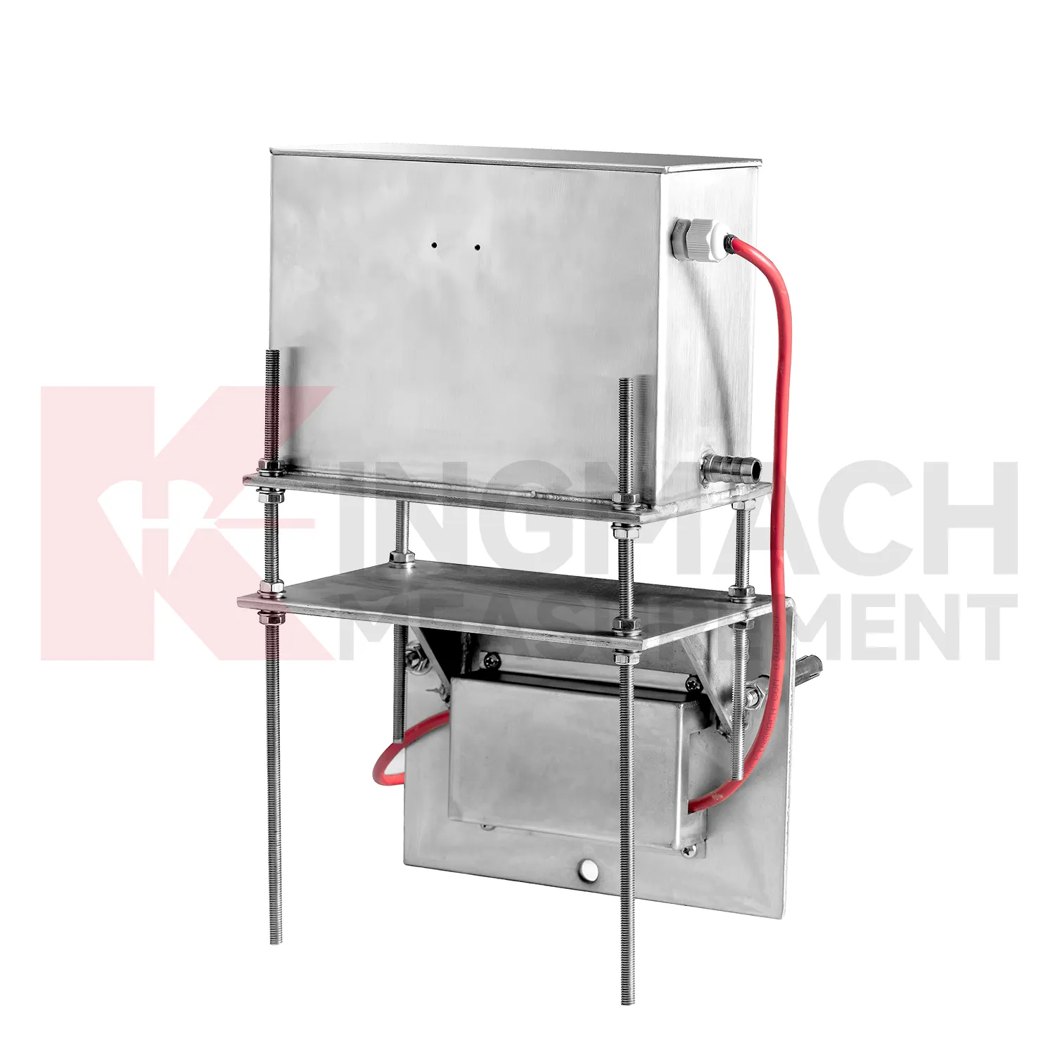
For dams and water-related structures, Hydrostatic Leveling System must be read together with hydraulic conditions. Dam settlement, bridge deflection near water, dyke compression, and foundation deformation may respond to reservoir level, seepage, rainfall, temperature, and seasonal operation. Kingmach JMQJ-62XXADT and JMDL-62XXADT hydrostatic sensors can support multi-point vertical deformation monitoring, while JMCJ-1003/1005 can add groundwater level and layered settlement information. The field record should identify reference point, tube layout, cabinet position, water level, and inspection date. A reading after heavy rain has a different meaning from the same reading during a dry operating period. Settlement data becomes stronger when it is tied to the water story around the structure. The practical aim is a traceable vertical movement history that can support construction control, maintenance planning, and risk review without rewriting the site story. The practical aim is a traceable vertical movement history that can support construction control, maintenance planning, and risk review without rewriting the site story.
FAQ
Q: What does JMDL-47XXAT measure?
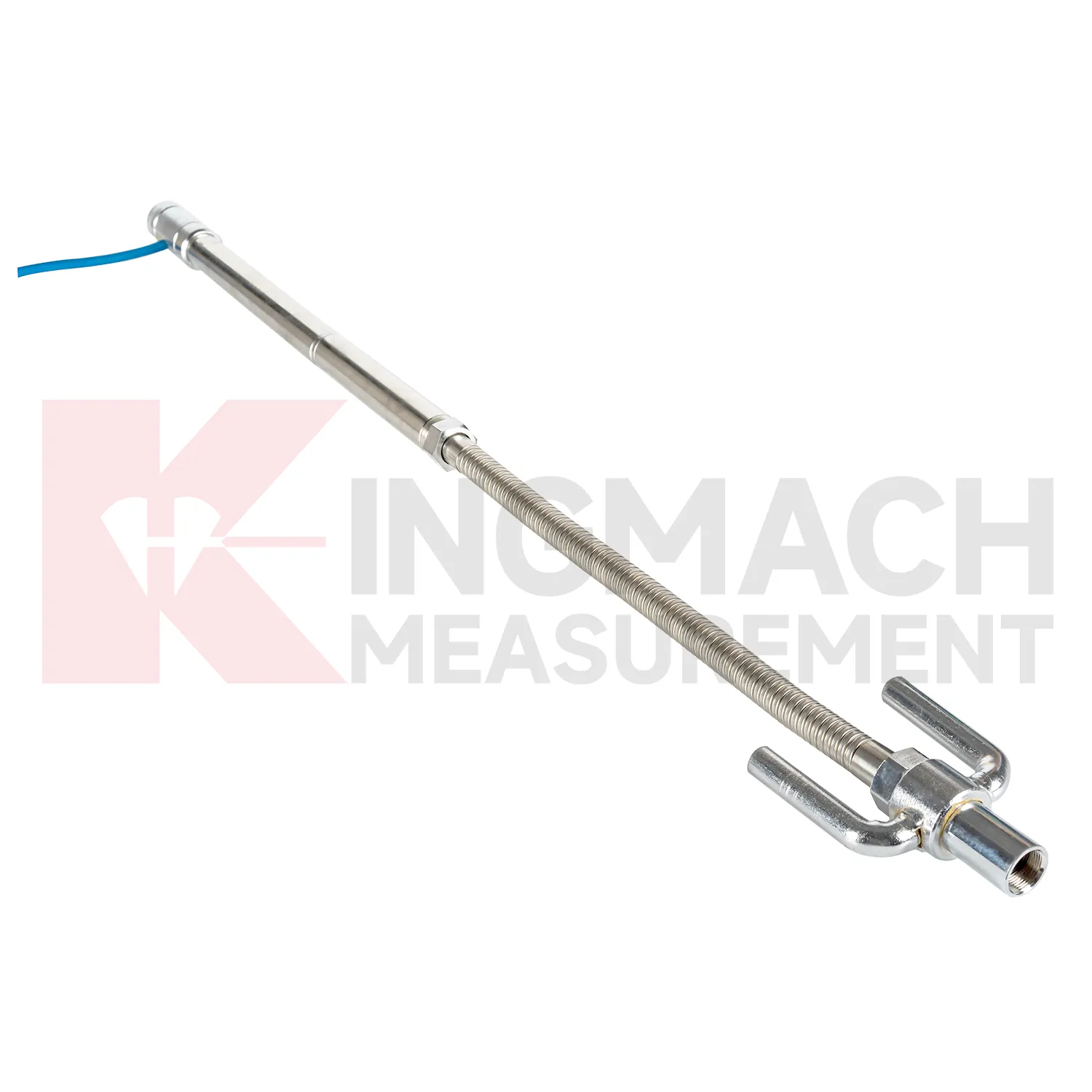
A: It measures in-situ subgrade settlement, embankment heave, foundation pit base uplift, tunnel bottom uplift, dyke compression, and pile foundation settlement.
Q: What ranges are listed for JMDL-47XXAT?
A: The listed ranges are 100 mm, 200 mm, 300 mm, and 400 mm, with 0.01 mm resolution on the 100 and 200 mm models and 0.1 mm on larger models.
Q: How is the gauge installed?
A: It uses a settlement plate, electrical displacement sensor, measuring rod, metal flexible conduit, anchor head, extension rod, and bottom anchor head.
Q: Can traffic operation continue during monitoring?
A: The side-exit cable routing is designed to avoid interference with pavement compaction and can support monitoring during traffic operation when installed correctly.
Q: What should be recorded during installation?
A: Record plate position, anchor depth, extension length, cable route, baseline, model, range, and construction stage.
Reviews
Christopher Martinez
Very satisfied with the readouts & data loggers. User-friendly interface and supports multiple sensor inputs.
Daniel Brown
Excellent environmental monitoring sensors. The data is consistent, and the system integrates smoothly with our existing setup.
Latest Inquiries
To protect the privacy of our buyers, only public service email domains like Gmail, Yahoo, and MSN will be displayed. Additionally, only a limited portion of the inquiry content will be shown.
Isabella***@gmail.comGermany
Hello, we are evaluating weir flow meters for a water management project. Please share accuracy deta...
Harper***@gmail.comIndia
Dear Sir, we are planning to procure a complete monitoring system including strain gauges, tiltmeter...
Related product categories
- hydrostatic pressure sensor level measurement
- hydrostatic level sensor principle
- hydrostatic level sensors
- hydrostatic pressure level sensors
- Wide-Range Differential Pressure Hydrostatic Level Sensor
- Inductive Frequency-Modulated Hydrostatic Level Sensor
- water level gauge
- water gauge water level gauge
- water gauge level
- gauge water level
- Magnetic Ring Settlement Water Level Gauge
- Optical Deflection Monitor